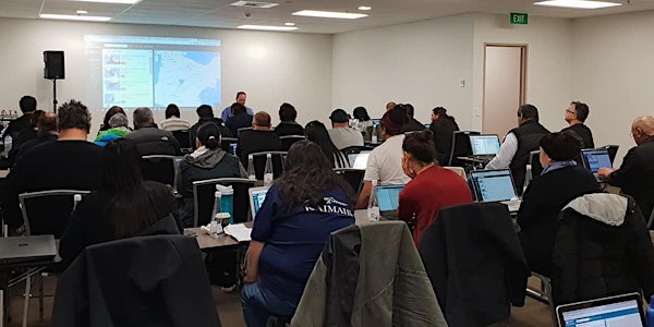
The Value of Geospatial Information for Iwi Māori Policy
Date and time
Location
Land Information NZ - Toitu Te Whenua
155 The Terrace Level 7, RNZ House Wellington, 6011 New ZealandDescription
Join us at Land Information New Zealand to discover how geospatial tools can be used to inform policy and decision decision making.
Using agency data, land information, demographic and economic information, can be applied to monitoring the impacts of decisions made, we can then consider what if scenarios, as well as presenting analysis and analytics in easy to digest visual formats.
Organised by
A series of short online technical demonstrations for New Zealand geospatial practitioners focusing on New Zealand-specific GIS workflows and datasets.
GeoBites are hosted by the Geospatial Capability Team at Land Information New Zealand
You may also be interested in Ngā Poutama Matawhenua | Practical Māori GIS Mapping Wānanga
For further information please contact: growgisnz@linz.govt.nz